
Crooked River Cup Weekend November 2004
Participants: Henric, Cory, Michelle, Mark, James & Liam
Monday 1st November 2004
We woke up to a morning where we didn't have to worry about packing up camp and jumping into the cars for a days driving. Lovely and relaxing, well except for Henric who couldn't sit still. I went down to the river and had a refreshing sit in the cool waters. Michelle also had a wash and felt quite civilised.
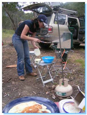
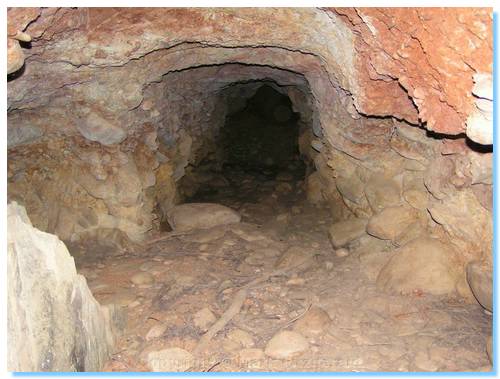
Cory cooked us all up the best, fluffiest pancakes and James and I went for a walk around the campsite, looking and finding a number of mineshafts dug into the hillside. There was even one right by the campside travelling into the hill beneath our tents!
Late morning we decided to take a drive up to Grant. We continued up the Crooked River Track to Stonewall and climbed the very steep and narrow Bulltown Spur Track. Another convoy was travelling down the track, and somehow managed to find a slightly wider portion of track to sit on, perched over the sheer drop into the valley, to allow us to continue up and past them. The track joined up with McMillan Road, a good quality 2WD road which we followed into Grant.
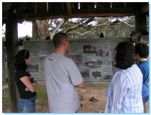
Grant was a large cleared area on the top of the hill, with signs (some with photos) marking out where the various buildings had been during the town's heyday. It was amazing to think of this large township perched on the hilltop in such hard times, now easily accessable via 4WD.
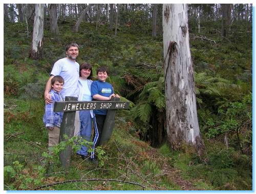
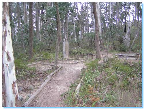
We drove out to the Jeweller's Shop Mine, which was full of water. I'd left my waders at home, not that I'd really considered walking into the old mine shaft. The picnic ground near the mine was very pretty with blossoming fruit trees and we were about to set-up for lunch when we could hear the rumbling of thunder. Not wishing to have to drive down the steep roads we'd climbed in pouring rain we postponed lunch and drove around the the cemetary.
The cemetary visit was quite rushed as the thunder grew in intensity and regularity. Looking at the map, McMillan Road continued back down to Talbotville, so hoping that it was the same quality all the way down as the short section we drove on we headed back to Summer Hill. The rain was now coming down quite solidly, and we had no intention of driving down Bulltown or Collingwood Spur Tracks when they were wet.
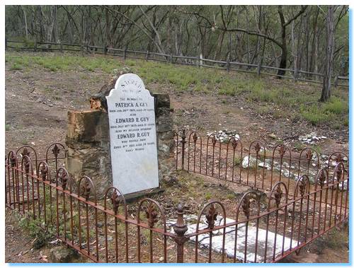
Luckily, McMillan Road was quite safe and well graded and we arrived back in Talbotville as the rain started easing off. We visited the cemetary here, and also a nearby geocache, and set-up for lunch on the grassy flats by the Crooked River. The crowds of people from the day before all mostly having moved on.
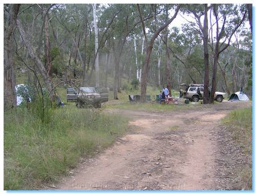
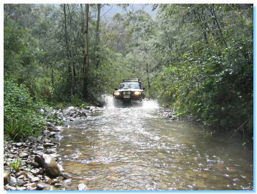
We returned back to the campsite, again making the multiple river crossings. If you like driving through river crossings, then this is the place to visit. Also if you like old mining towns and looking for old gold mines, again this is your place to go. There were multiple mine shafts right alongside the road, and many I'm sure, off in the bush.
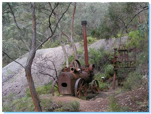
Everybody was happy to relax around the campground for the afternoon so I had no takers for my offer to walk to the New Good Hope Mine site. So off I went by myself. The climb up the walking track was remarkably steep. As I approached the tailings from the mine, I could see the old steam powered battery sitting where it was left some 94 years ago. The mine itself was no longer visible, with the shaft entrance having collapsed and now being overgrown.
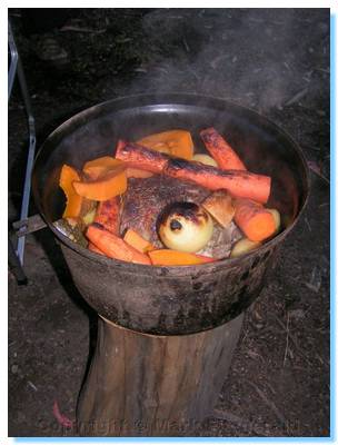
I made my way back down to the car and returned to camp where we relaxed (well, everybody did except Henric who still couldn't sit still). Henric cooked up the most fantastic roast lamb with all the trimmings in the camp oven; the culinary highlight (closely followed by the aforementioned pancakes) of the trip. We sat around the campfire into the evening while the kids watched 'All Aussie Adventures on the laptop' There had been a light rain through the evening, though the tarp kept us all comfortable. Not long after midnight, a thunderstorm sewpt through the valley and I fell back asleep to the sounds of pouring rain on the tent.
| Track Name | Surface | Travel Time | Total Distance | Avg Speed | Min Alt | Max Alt |
| Bulltown Spur Tk | 4WD steep ascents, sharp switchbacks | 15 minutes | 2.9km | 12km/hr | 414 metres | 866 metres |
| Bulltown to Grant (inclusive of above) | 4WD steep ascents, river crossings, sharp switchbacks | 29 minutes | 8.4km | 18km/hr | 3854 metres | 1169 metres |
| Grant to Talbotville (McMillan Tk) | 2WD Gravel | 20 minutes | 9.9km | 30km/hr | 388 metres | 1199 metres |