Mallee and Border Track 25th - 30th September 2004
Day 5 - 29th September 2004
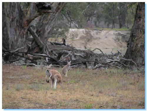
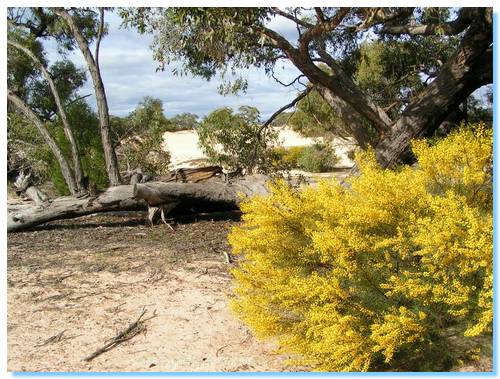
We packed up camp early and were in the car driving across the island by 8:00am. I had wanted to visit Kulkurna Cliffs, but according to the map it was about a 20km trip and we would have to come back the same 20km, so we left them for another time. We passed a few kangaroos along the track, including one with a very cute joey.
We started off our trip down the border at Border Fence Road, which we missed to start with as the border to South Australia was unmarked. Curses not having my laptop! Next time we travel along here we'll start right from the top near Border Cliffs, and do the full border navigation, as we had to divert from the Border Track further along, as detailed below.
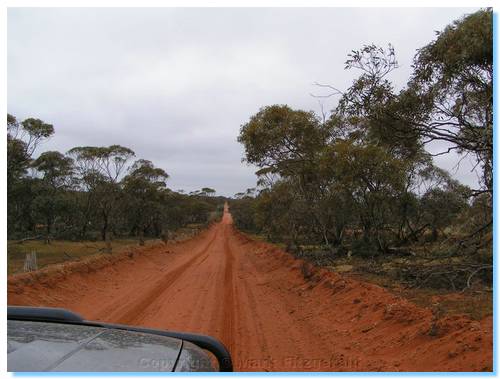
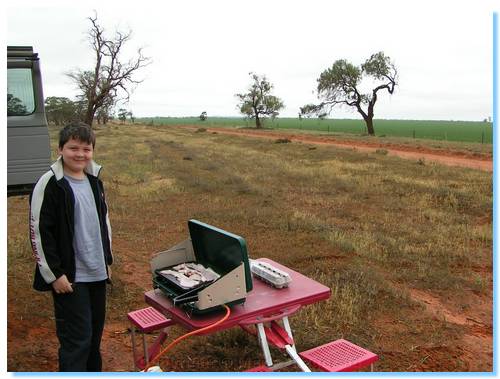
The track surface had changed from the slate grey of Lindsay Island to a desert red/orange as we headed south along the border. We pulled off near a tree to cook up some breakfast; the kids were starting to get sick of bacon and eggs. Well, James doesn't even like eggs, but I guess a few days of bacon sandwiches does get boring, though we did have porridge with honey one morning.
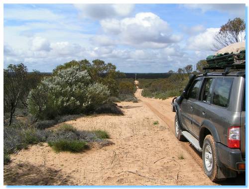
As we continued south, the track surface changed from the dark orange, almost red to soft yellow sands.
You could really appreciate the powers of irrigation and how much the farmers had changed the land with the native vegetation and desert on the east of the track, and the cleared green pastures on the west of the track.
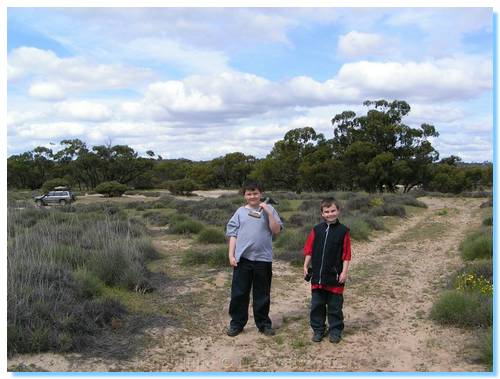
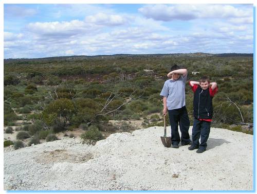
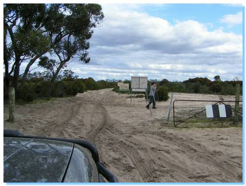
We diverted from the Border Track near Berrook, and headed east along Sunset Track to visit the Underbool Green Opal Mine site. We had a little trouble finding it at first; damn that laptop again, but after 20 minutes exploring the desert in the heat and flies we returned to the car and headed back along the track, this time spotting the correct turnoff.
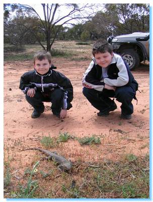
With shovel in hand we set off for the walk across the desert to the mine site, battling the flies which were swarming in their thousands. After a couple of kilometres, the mullock heap was visible across the dunes, and it wasn't long before we arrived at the mine site, the shaft collapsed but visible. We spent some time here looking around for opals, finding some interesting rocks with the green colouration, but no real opals to speak of. Still, it was interesting and worth at least one visit.
We continued down Underbool Track and Sunset Road to the highway, which we followed into Murrayville, to stock up on ice and drinks. The kids had earlier asked about seeing camels in the desert, so I explained to them they may spot them in the Simpson, but not around this area, only to see a camel in a paddock on the edge of town!
We rewarded our hot desert walk with an icecream each, and picked up a 24 pack of Pepsi Max for $23, normally $10 at Safeway in the City! and joined up with the Border Track again. The track was getting really sandy and soft as we joined the Border Track proper.
We visited Scorpion Springs where the kids dug down through the sand looking for water. They wanted to stay here for ages, but we had to think about getting to the campsite at Pine Hut Soak, which we did at about 5:00PM. There was another car setting up camp here at the campgropund, and after chatting found out it was the same car we had passed on the banks of the Murray at Ned's Corner. Peter was travelling through the Big Desert area with his daughter Melissa, and they had planned to travel the entire Border Track, but had heard in Murrayville that the section near Scorpion Springs was impassable after rains, which we had experienced a little of.
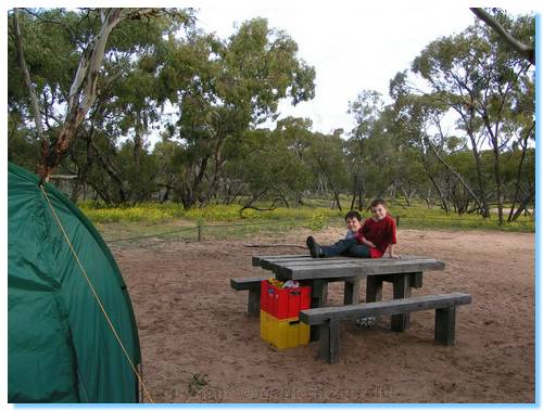
We had a simple dinner tonight of Hot Dogs and bread, followed by pancakes for desert, then shared the campfire with Peter and Melissa.