
Mitchell River and Snowy River - 27th December to 31st December 2004
Snowy River National Park
Day 4 - 30th December 2004
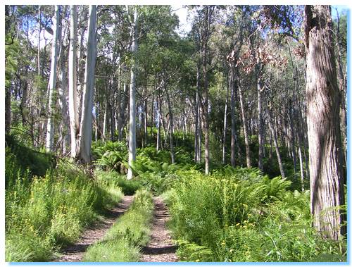
Time to move on, we drove through the forest along the Old Orbost Road spotting a few wallabies along the way. We refueled and topped up our water supply at the servo just outside of Orbost, then checked out a Geocache at the lookout. This was the start of our trek along the Snowy River.
We headed up the Buchan Orbost Rd and then turned down Basin Rd. We started exploring along a walking track to Basin Falls, but there was no sign indicating how long the walk was and the kids weren't interested in getting out of the car. I ran along the track for a good distance, but didn't come to any falls, so turned around and ran back up the hill to the car.
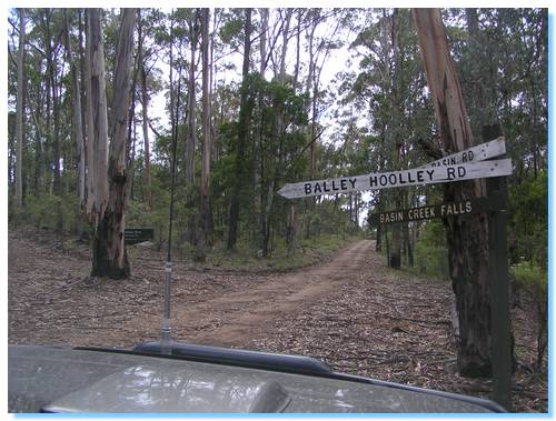
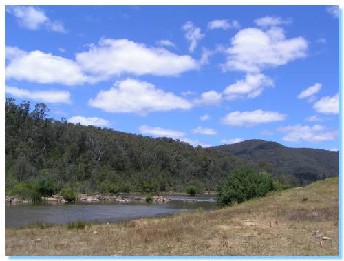
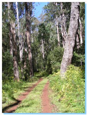
Balley hooley sounds like an interesting place, so we drove down to this campsite on the confluence of the Buchan and Snowy Rivers to have a look. It seemed a nice campground, and there were a few others camped here as well. We went for a short walk along the walking track, and explored down by the river.
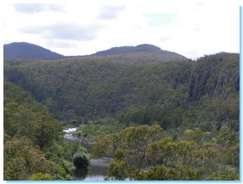
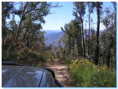
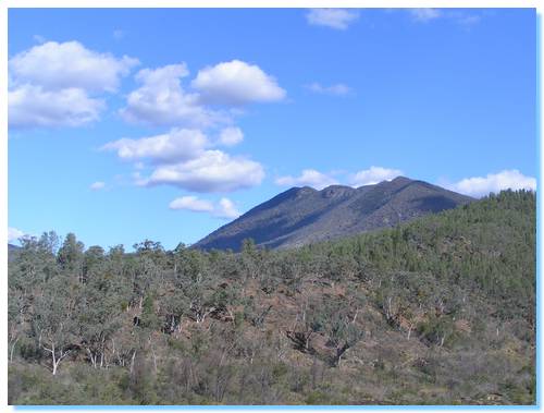
The views from Tulloch Ard Road were glorious, but were only a hint of some of the magnificent scenery we would be driving through today.
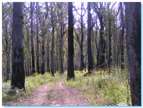
We moved off the ridge, and followed Running Creek Track down a spur onto Jacksons Creek Track. We were now beside the Snowy in a cleared area driving beside rocky outcrops.
There were some lovely camping sites along here, but not a soul to be seen. Perfect!
We approached Jacksons Crossing warily. A small ford took us onto an island, then the track just led straight into the Snowy River, with no sight of the exit on the other side to be seen.
I paused, then got out of the car to see which way we should go. Eventually I cottoned onto the strategically placed rocks, leading out and around the river marking the boundaries of the safe crossing. Back into the car and off into the water we made the crossing without incident.
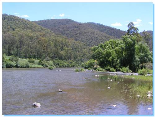
On the other side of the Snowy now, we stopped at a campsite on a sweeping bend of the river. There were quite a few people camped here, but it seemed a nice spot. We even saw a goanna cross the track and climb a tree beside us.
We continued along Varneys Track, climbing out of the valley and then drove along Yalmy Road. This was a good quality forest road. We stopped off at a small creek for lunch, the weather quite warm today.
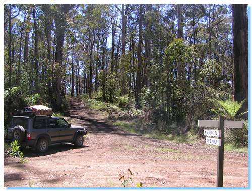
We eventually arrived at the start of the Deddick Trail, one of those icon tracks in Victoria and the main purpose of this trip.
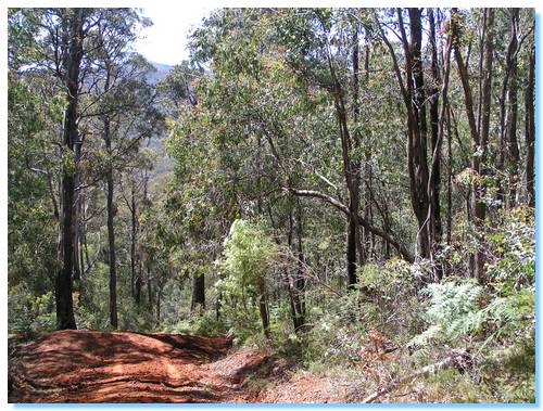
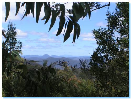
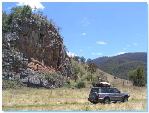
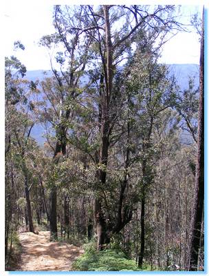
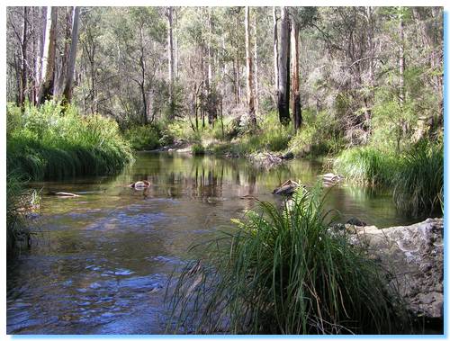
The Deddick Trail is simply beautiful, scenic, challenging and awe inspiring. The following photos only give a small taste of how wonderous this place really is. I drove along many steep descents and ascents, often the track was visible in the distance heading straight up spurs to the ridgetops. Even when down in the valleys away from the endless views, the lushness and green as we travelled beside and through crystal clear mountain streams was unforgetable.
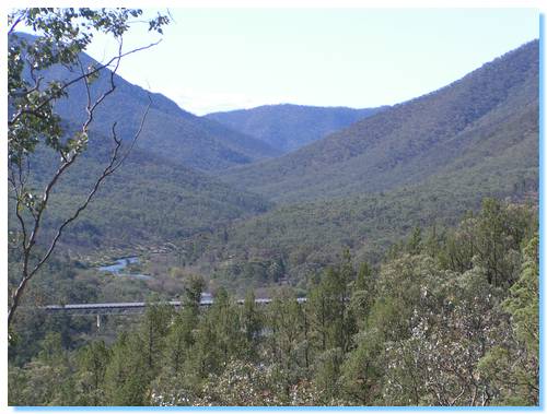
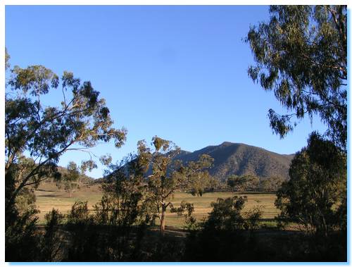
Eventually our journey along the Deddick neared it's end. As we crossed over Mt Gelantipy, we moved from verdant mountain ash forest into Gelantipy's rain shadow and soon McKillops Bridge was visible in the valley far below. Another icon of this area.
We drove towards Deddick looking for a secluded campsite on the river, but had no luck and so returned to McKillops Road and looked at the other formed campsites.
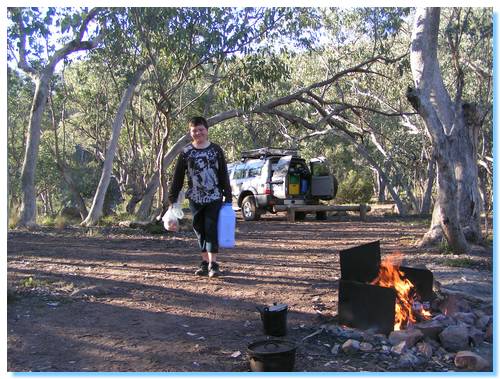
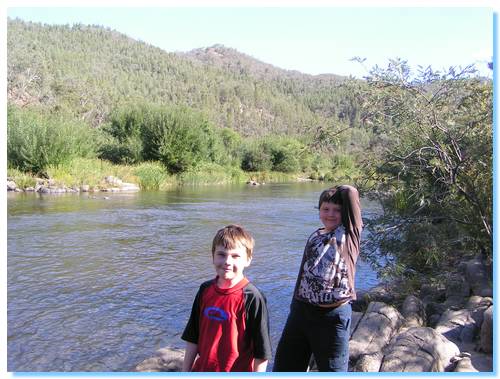
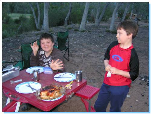
We eventually settled on the campsite at Bulldog Flat, and enjoyed a most tasty roast chicken as we watched a flock of hundreds of cockatoos play in the trees across the river.
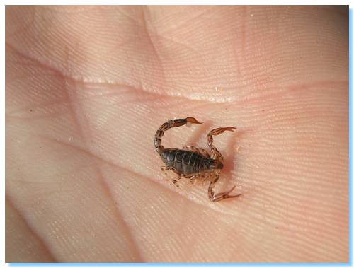
The bush here is so dry that there were even scorpions around the campground!