
Macedon Walking Trail 26th August 2006
Participants
Mark L., Mark F.
When four became two. Joanna and Michael had to unfortunately pull out at the last minute. I mean, right at the last minute. They did the 1 hour drive to the start of the walk, dropped Mark off and then had to turn around and head back home.
So it was just Mark and I. Again... Maybe these walks are a bit too much on the hard side. Next one will be easier, I promise.
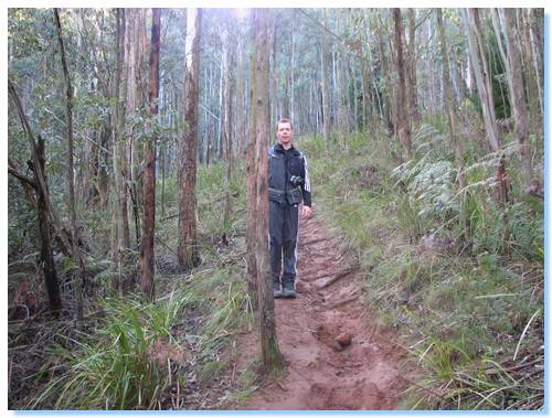
We headed off from Mt. Macedon township not long after 10:00am, the start of the walk an easy stroll along a town road, passing some quite large and I'm sure expensive houses, with equally expensive views. It wasn't long though before the walk started in anger, with the track leaving the road sharply up the side of Mt. Macedon.
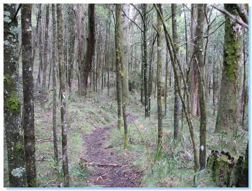
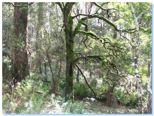
The path zig-zagged quite steeply for over 1km, with the occasional views between the trees. We passed some walkers coming down the trail, whose exuberant dog tearing down upon us caused a moments panic. How do you tell if the gleeful look on a bull mastiff face is because he's happy to see you, or he is imagining tearing out a jugular?
The forest thinned towards the summit of Mt. Macedon, and the sounds of birdsong and wind through the trees gave way to the sounds of raucous children and their chastising mother.
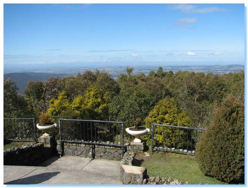
A quick look around the Memorial Cross with distant views to Melbourne, then some tasty Devonshire Tea at the Tearooms before continuing.
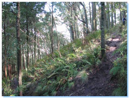
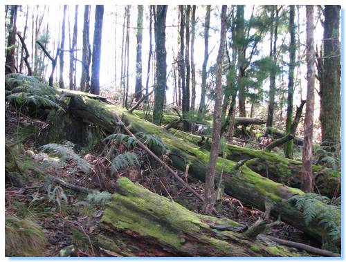
The trail followed the Western Face of the mountain, and was fairly flat as it passed through messmate forest, some still showing the ravishes of the forest fires 20 years previous.
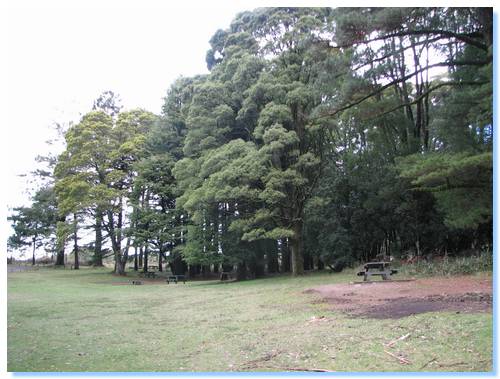
We passed a few fire trails before eventually arriving at McGregors Picnic Ground, where we stopped for lunch. Lunch was held more because of the time than hunger, the scones from morning tea not nearly forgotten.
The picnic ground was quite verdant; with large European Trees lining its edges it would be a lovely spot to stop on a hot day.
Not long after the picnic ground, we started our climb towards the Camels Hump. A Flame Robin was battling itself in the mirror of a nearby car, but admitted defeat on our approach.
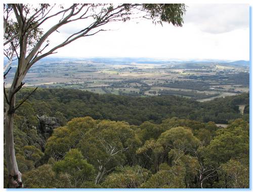
The views from the Camels Hump were well worth the climb, and I explored around the granite boulders for a while before descending again and continuing our walk.
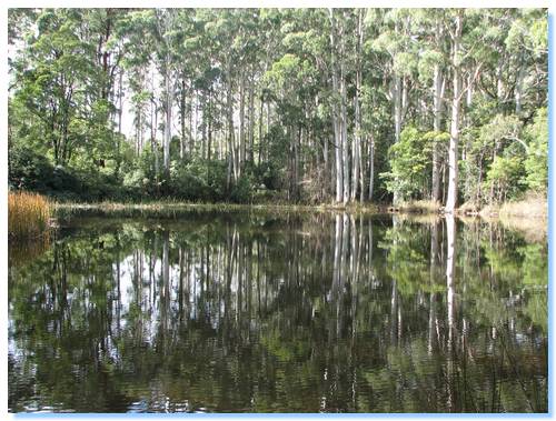
Sanatorium Lake was created to supply water to the nearby Tuberculosis Sanatorium, but nowadays supplies water to local critters such as swamp wallabies and white faced herons.
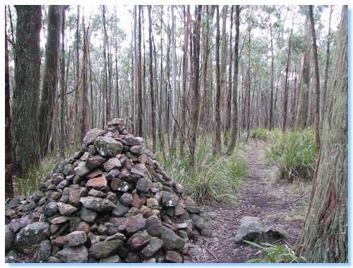
The walk then descended along open firetrails before we started ascending Mt. Towrong where a rock cairn marked the summit.
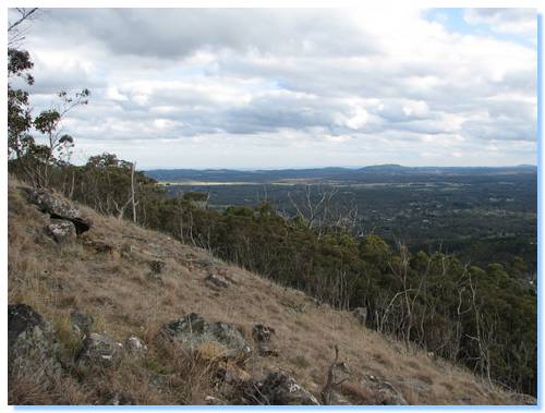
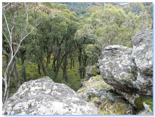
From Mt. Towrong back down into Mt. Macedon was along a very steep and rocky descent. There were some great views as the forest opened up before the final drop, and some very Blairwitchy rock arrangements lined the path as we made our way down.
The remainder of the walk was along residential streets amongst the forest as we returned to the car. We arrived before the clock hit 4:00pm, for a total walk of 17kms in approx 5 1/2 hours.