Higganbotham Mine - 4th July 2003
Mark, James & Liam
James, Liam and I were out on a boy's day, exploring the Black Range State Forest for old mining relics and sites. After stocking up on food supplies, we headed along the same route as my previous trip to Higginbotham.
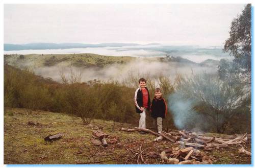
Exploring along Grant's Track, we investigated the old diggings on the top of the ridge above Higganbotham, before continuing to the end of the ridge, just before the track descends down to private property. We stopped trackside, where we set-up for our BBQ lunch. We got a small fire going on the top of the ridge, and kicked back to the magnificent views of the mist and low cloud blanketing the valleys. Liam described it best, "It looks like a huge bubble-bath, with the mountains peaking through like islands."
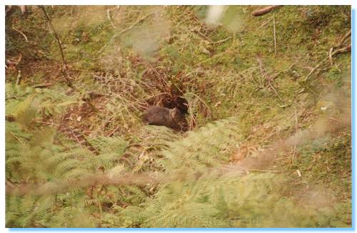
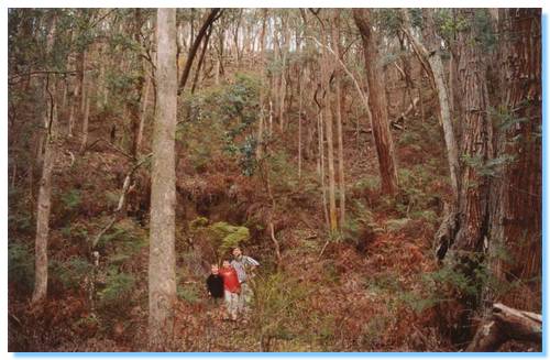
After lunch, we backtracked along Grant's Track and drove along the next ridge across on Beatsons Track, which brought us back to Grant's Track which descends steeply down in to the valley where the Higganbotham Mine is located. The track branched off near the gate into private property backup along the valley, which we followed until we reached the first of many large gumtrees which had fallen down across the track. We clambered over these trees to only be confronted with at least another 4 or 5 such obstacles across the track. Looking across the creek to the other side of the valley showed numerous trees which had been either uprooted, or snapped and brought down. It looked as though some mini cyclone had passed through the area. As we continued along the path, we caught site of a wombat running through the bottom of the ravine. He clearly knew there was somebody else down here with him, but he couldn't see where we were. We watched him for a while as he sat outside his wombat hole, wondering what was going on.
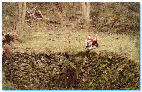
I had no real indication of what, if anything we would find; nor exactly where to look so we continued along the path where we eventually came to a hollowed out semi circular area, the walls of which were lined with stones. Exploration further along found a square cut out flat, likely housing some machinery or a small hut. I continued further upstream trying to locate the mine I believed was in the area, coming to a junction in the creek but still no sign of any shafts. It was clear I was in the right area, and looking up to the top of the valley was what was pretty definitely the diggings we had explored earlier, but still no mine shaft. I walked up some of the feeder creeks, climbing up the valley sides, which were strewn with tailings, a good sign I believed, but still no mine shaft. Giving up in this area, obviously having travelled too far up stream we headed back to where the ruins where.
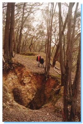
South of the stone circle, there was a small gully which I climbed along. This was looking more promising with a significant amount of tailings. I eventually came to the foot of a tailings heap, which I climbed up to find the shaft of the mine. Well, it would have been the shaft at one time, however the entrance was completely caved in. I called the boys up to have a look around; not what they expected, but at least we found it.
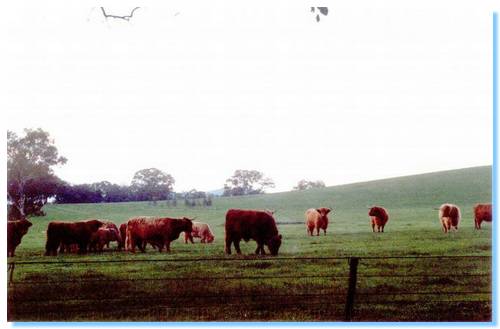
We made our way back down, and climbed over many fallen trees again on our way out. We drove out north, via Limestone where we came across a paddock full of Highlander Cattle, including calves. Magnificent!